Ridge Route or Valley Route: What the Map Leaves Out
Compare a ridge route and a valley route on a map by tracing road links, settlement access, and terrain clues before deciding what needs local verification.
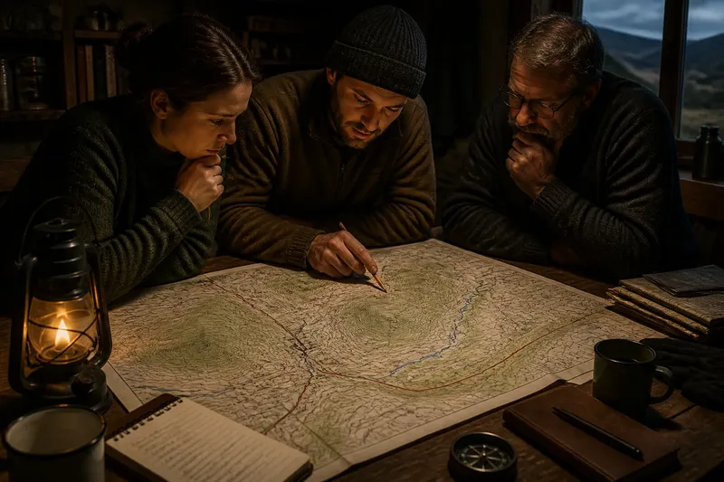
Which line gives a community the more useful connection: a ridge road that links scattered homes, or a valley road that follows a stream between settlements? A ridge route or valley route can serve the same endpoints while linking different places along the way. The map helps reveal those connections, but its symbols do not establish whether a bridge is sound or a track is open.
Say an invented upland district, Alder Reach, must connect the market village of Bracken with homes at North Fold. A paper map shows a road along a western ridge and another following the valley stream. The district’s planners mark three kinds of information before comparing them: contour lines for land shape, road and track symbols for mapped links, and settlement names for places served. They also note which facts still need checking against current local information.
Routes as networks
A route is more than a line between two endpoints. A ridge road may connect farms and hamlets spread along higher ground, while a valley road may serve a closer chain of settlements beside a stream. One may meet a main road at a useful junction; the other may end at a local track. Trace each option through its junctions and nearby destinations, not just from Bracken to North Fold.
On a topographic map, contour lines show elevation. Close spacing indicates a sharper slope; wider spacing generally indicates gentler ground. Use that pattern to identify where an approach climbs or descends, but keep the map’s scale in mind: small bends, banks, and links may be simplified or left out.
Road and track symbols can suggest how a line connects to the wider network. They do not prove that a track is publicly accessible, maintained, or passable. Likewise, a settlement symbol marks a mapped place, not every home or service within it. Treat these as clues about network structure, then verify access and current conditions from an appropriate local source if the decision depends on them.
Reading Alder Reach
In the invented map, Bracken sits in a broad basin. North Fold lies beyond wooded slopes. A stream runs north through the lower ground, and the valley road bends east beside it. The ridge road heads west from Bracken, follows a broad shoulder, and later descends toward North Fold. A mapped farm track joins the ridge road near a notch in the crest.
The valley option appears to connect Bracken directly to North Fold. But the map also shows two smaller settlements beside the stream road, making it a potentially useful link for more than the endpoints. Near the eastern bend, the road symbol crosses the stream at a mapped bridge. That tells the planners where the mapped connection lies; it does not tell them whether the bridge is open or in suitable condition.
The ridge road serves a different pattern. Its mapped junction with the farm track could connect the upland farms to Bracken, while the route’s approach to North Fold crosses more closely spaced contours. The planners can identify a steeper-looking descent on the map, but cannot infer its surface or exact difficulty from that pattern alone.
For a fair comparison, they write down what each line appears to connect, where it joins other mapped routes, and which terrain sections deserve closer attention. The valley road’s stream crossing and the ridge road’s descent are different kinds of dependencies. Neither makes the route automatically better or worse.
Connection checks
- Mapped junctions: If a route meets a clearly marked road, note that link as mapped; if it meets only an ambiguous line, check a more detailed map before treating it as a usable junction.
- Settlement access: If the route passes mapped homes or villages, record which places it appears to serve; if a destination is absent or unclear, consult a larger-scale map or local directory before assuming access.
- Track connections: If a track joins the route, note the connection but verify access rules; if its status is unclear, do not treat it as a public alternative.
- Bridge symbols: If a bridge is marked, identify it as a mapped crossing; if the decision depends on crossing it, check current local information rather than assuming it is open or suitable.
- Contour spacing: If contours bunch along an approach, mark that section for closer review; if they remain widely spaced, describe the ground as gentler-looking on the map, not as a confirmed easy surface.
- Land cover: If woodland, wetland, or built-up land is shown beside the route, note the mapped context; if the route’s condition depends on that land cover, seek a more detailed or current source.
These checks keep two questions separate: what places the map links, and what the ground may require. A short route can be a poor connection if it bypasses the settlements that matter or depends on an unverified crossing. A longer route can serve more destinations, though that benefit should be weighed against its mapped junctions and terrain.
What needs checking?
Does a mapped track mean public access?
No. A track symbol indicates a mapped feature, not its legal access status. Check an authoritative local source before treating it as an available route.
Can contours identify a usable road?
Contours show the shape of the land, not the road’s surface or condition. They can point to a steep-looking section that deserves further checking, but cannot establish whether a vehicle or traveler can use it.
What does a bridge symbol tell me?
It marks a crossing at that map’s scale and date. If your route choice depends on it, look for current local information about access and condition.
Why compare places along the route?
A road may connect useful intermediate settlements, farms, or junctions as well as its endpoints. Recording those links shows who or what each option appears to serve, while leaving unverified access questions open.
A worked comparison
Imagine Alder Reach’s planners start with a paper map showing Bracken, North Fold, two streamside hamlets, a bridge symbol, and the ridge farm track. They first trace the valley road and write down its apparent links: Bracken, both hamlets, the bridge crossing, and North Fold. Next they trace the ridge road, noting its link to the farm track and the closer contour spacing on the descent toward North Fold. Finally, they check a current local council access notice, which says the bridge is open, and a local road notice, which says the farm track is private.
The resulting comparison is concrete: the valley line appears to serve the two hamlets and has a crossing reported open by the local notice; the ridge line links the mapped farm track, but that track is not an available public alternative, and the descent still needs suitable route information. The planners can therefore set aside the track as a public connection and compare the valley route with the ridge road itself, without claiming the map has settled every ground condition.
Limits of the map
Maps are selective. At a regional scale, a minor junction or short connecting lane may disappear, and symbols may not reflect recent changes. Contour lines describe land shape, not soil firmness, bridge condition, weather, or access rights. If the route has practical consequences, compare a more detailed map with current local information and follow applicable access rules.
It is not worth trying to infer every route condition from contour lines or symbol colors. Use the map to identify connections, apparent terrain changes, and unanswered questions. For a ridge route or valley route comparison, that distinction makes the result more useful: you can explain what each option links, what it seems to demand, and what still needs verification.
Keep unresolved points visible in your notes. A question mark beside a bridge, track, or steep-looking approach is useful because it prevents a mapped possibility from becoming an assumed fact. That small habit leaves room for the local information that turns a line on paper into a dependable connection.